Courmayeur Vertical Trail 60K Race Report
I’ve become quite fond of the Aosta Valley over the years. Since Tor des Geants last year, a little part of it has stayed with me. When looking for a pre-UTMB training race while in Chamonix, I was excited to find the Vertical Trail Courmayeur 60K. Not unlike Tor, it looked rugged and tough with 36 miles, 15500 feet of climbing, and lots of time spent up over 9,000 feet. Was it too challenging of a course to be optimal training for UTMB? Most definitely. But it would also be a whole lot of fun.
We had been in Chamonix almost two weeks, and I had been training hard. Week one was 92 miles with 32,000 feet of climbing, and week two would be about the same with VT 60K. I was far from tapered and fresh, thinking of the race as a fun, supported long training run.
I woke up at 2:40am to drive through the tunnel to Courmayeur. Check in was super low key, and this was clearly a laid-back race. At the start line, they had a short pre-race briefing. I knew just enough Italian to know there were several important notes about the course, but I had no idea what they actually were. What could go wrong?
Apparently the race photographers wanted to capture the out of place American tying his shoe
We set off about 4-5 minutes after the 5am race start, winding our way up through town. Instead of heading towards Refuge Bertone (midway on UTMB and end of Tor des Geants), we ascended towards Col Sapin. It was a steep ascent but par for the course until around mile 4. We diverted off the main trail, and the next 5-6 miles featured some of the toughest, most dangerous, and most technical terrain I’ve run.
Much of it traversed these steep couloirs with loose, rocky, cambered footing. Falling or misplacing a foot was not an option. There were ropes and cables to grab onto in some sections but not all.
I dialed back my pace and let people pass me. It was not worth the risk, and I focused on safety. After the “zero-star” couloirs traverse section, we were treated to an off-trail ascent of a knife ridge to the peak. We ascended 2,500 feet up a mostly 40%+ grade, and it was difficult to even know where the go. The mountain guides of the Aosta Valley sure do have a loose definition of what a “trail” is.
Towards the top I added a bonus 4-5 minutes, as I stayed on the knife ridge instead of traversing down to a notch. I lost a few more places and was frustrated and now way behind schedule. Adding to my frustration, my carbon-plated trail shoes were woefully inadequate in this terrain. Since this was a more rugged course than UTMB, I decided to test them out – if they worked here, they would work at UTMB. Well, they definitely did not work. Good to know!
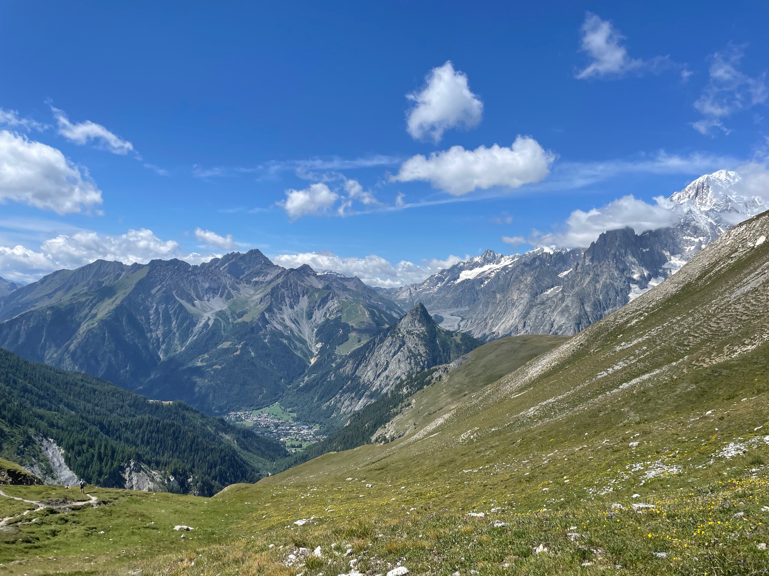
OK, pity part over. It was an incredibly beautiful day with killer views of the Mont Blanc massif up at 9,500 feet. I could also see out to the Gran Paradiso in the distance and a big chunk of the Tor course. It was refreshingly chilly up this high, and I kept pushing in part to stay warm.
OK, maybe it wasn’t all bad …
An unbelievably beautiful moring
Looking out towards Stage 1 of the Tor
The “trail” …
The top of the first peak was epic
Having some fun now!
If the course kept up like this, it would be a long day indeed. But that was ok. I embraced the adventure, and the family was happily settled in Chamonix and didn’t need me back at any particular time. Onwards!
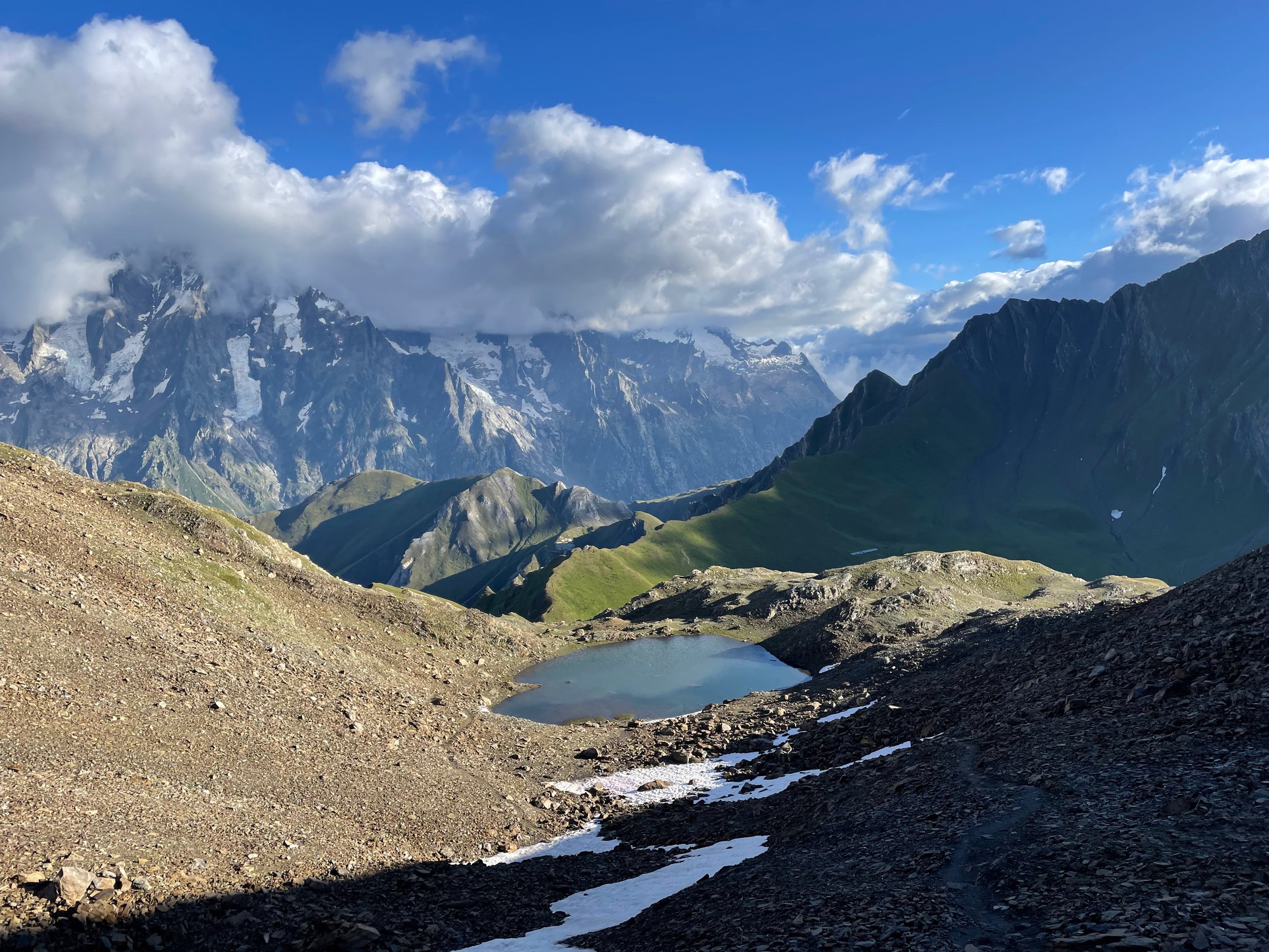
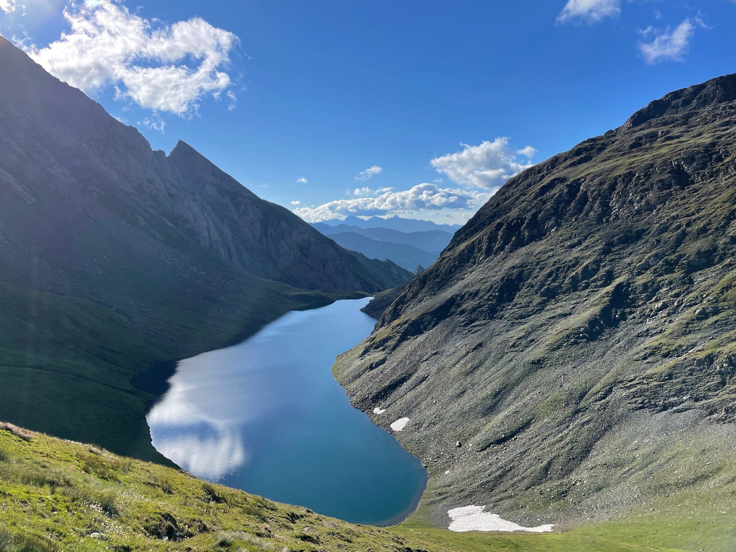
We began the steep descent from the peak on loose, technical terrain. With 1,500 feet of descending in a mile along with my silly carbon shoes, it wasn’t exactly easy. But it was also magnificent, running by multiple high alpine lakes.
High alpine lake on the first descent
Trail running doesn’t get much prettier
Another alpine lake!
I finally passed a runner and was fast approaching another as we came to the first aid station. After a shaky start, I did not get passed again for the rest of the race and steadily moved back up the field.
The aid station was remote and fairly sparse. I was glad of my decision to largely self-support and was quickly out of there after thanking the aid station team in Italian. As a rare break, we had almost a mile on relatively flat gravel road. Time for the carbon-plated shoes to shine!
This was one of several sections where the course was significantly re-routed from the standard route loaded onto my watch, as discussed during the pre-race briefing in Italian. I went a while without any flagging and came to a sketchy stream crossing, wondering if I had gone off course. After wandering for a bit, I finally found some course flags and started climbing back up to 9,500 feet.
Not much of a trail, but the yellow arrow helpful confirmed you were, indeed, supposed to go up
We ascended more than 3,000 feet in less than 3 miles, but I pushed hard and moved well. Nutrition was on point, and my legs still felt great. We crested the col and were treated to more killer views. It was a steep descent, and I had a hard time not falling while taking in the stunning landscape.
View from the top of the second climb
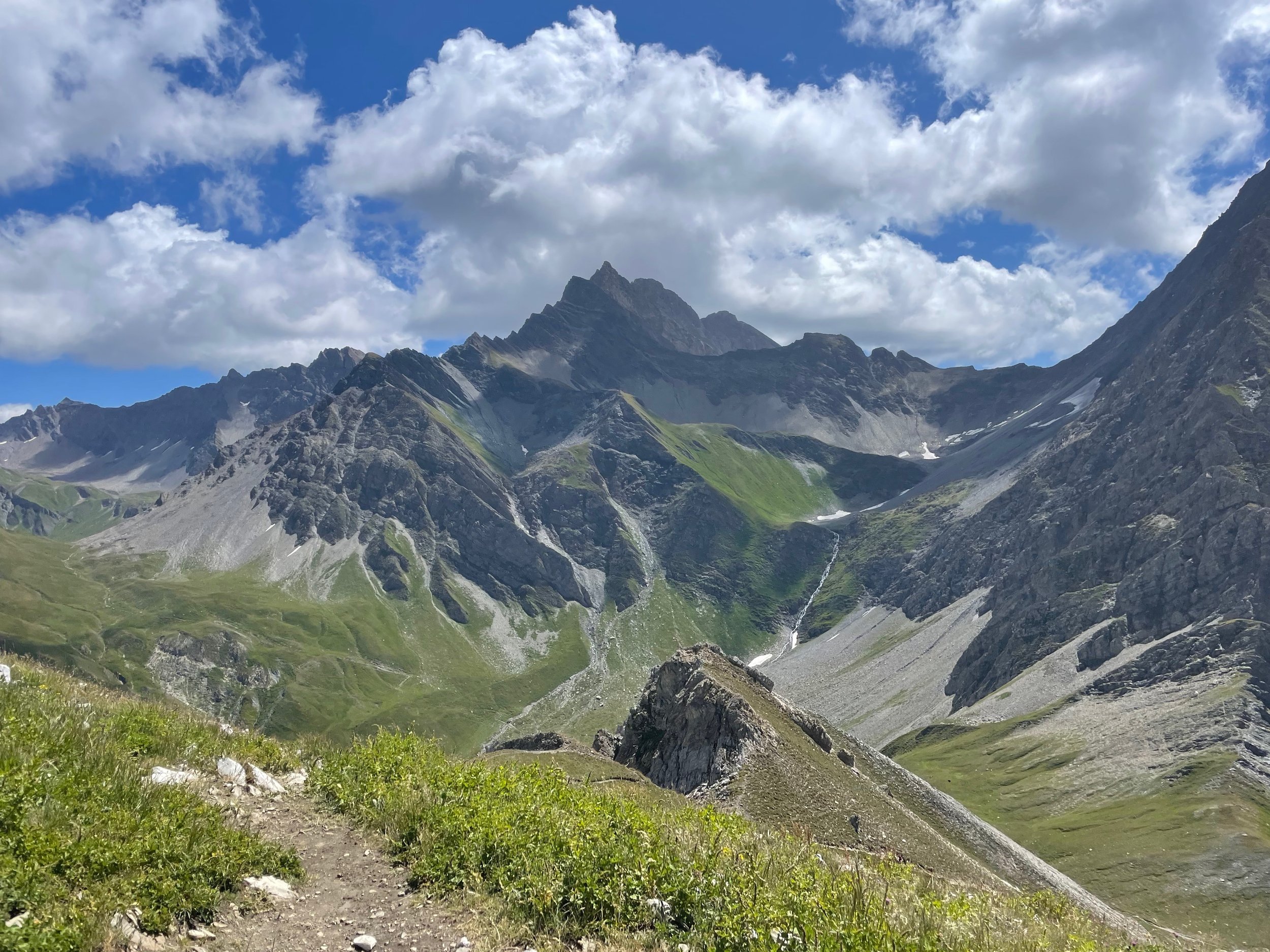
After another short climb, we had a clear view of the last peak at Tor des Geants, Col Malatra. It was cloudy and rainy when I was last here, so it was great to see it on a bluebird day. I was moving well at this point and passed another runner on the descent.
We’d circle back and climb the domed peak in the center, which had unreal 360-degree views
I wasn’t exactly sure where the next aid station would be, and it turned out to be a table set up outside of Refugio Bonatti. I refilled bottles and was again glad for my nutrition planning. We popped out onto the UTMB route, which was so smooth and runnable compared to what we had been on.
It was short-lived though, and we headed back up another big climb, because that’s how the Aosta Valley rolls. I passed a guy wearing the pack we got for finishing Tor in 2022. The field at this race was small but mighty, with many having strong performances at Tor, including the 2-time female champion.
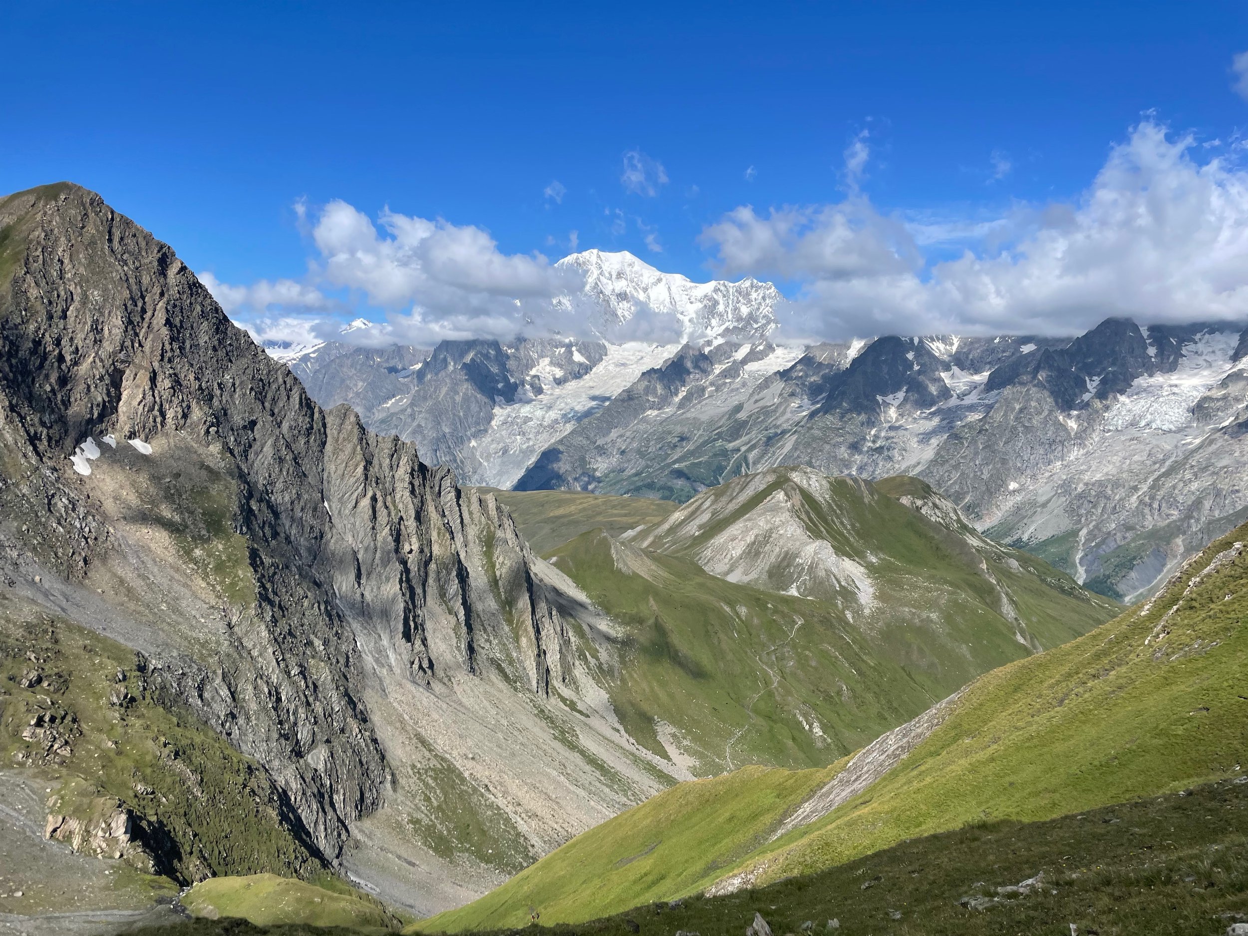
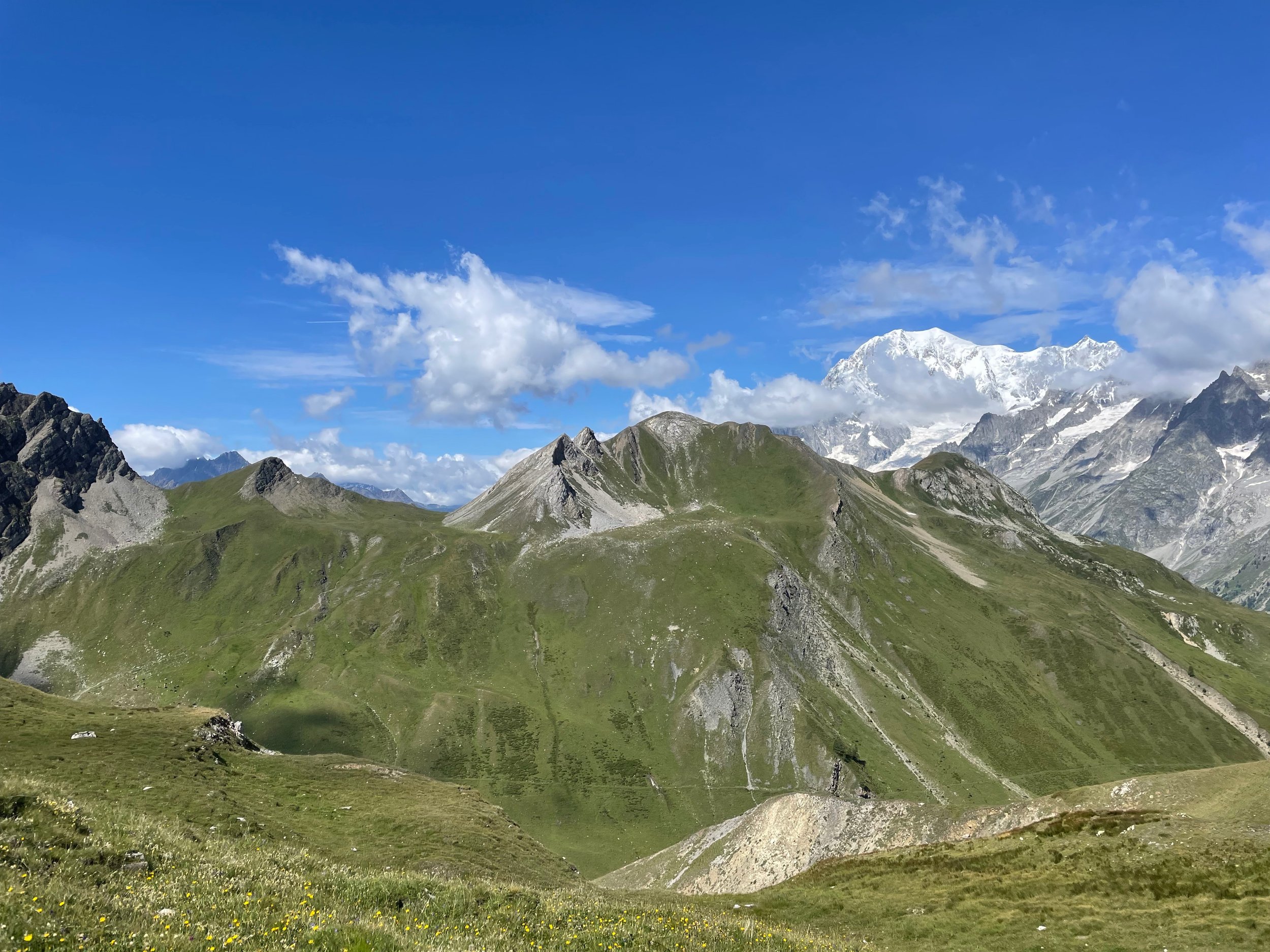
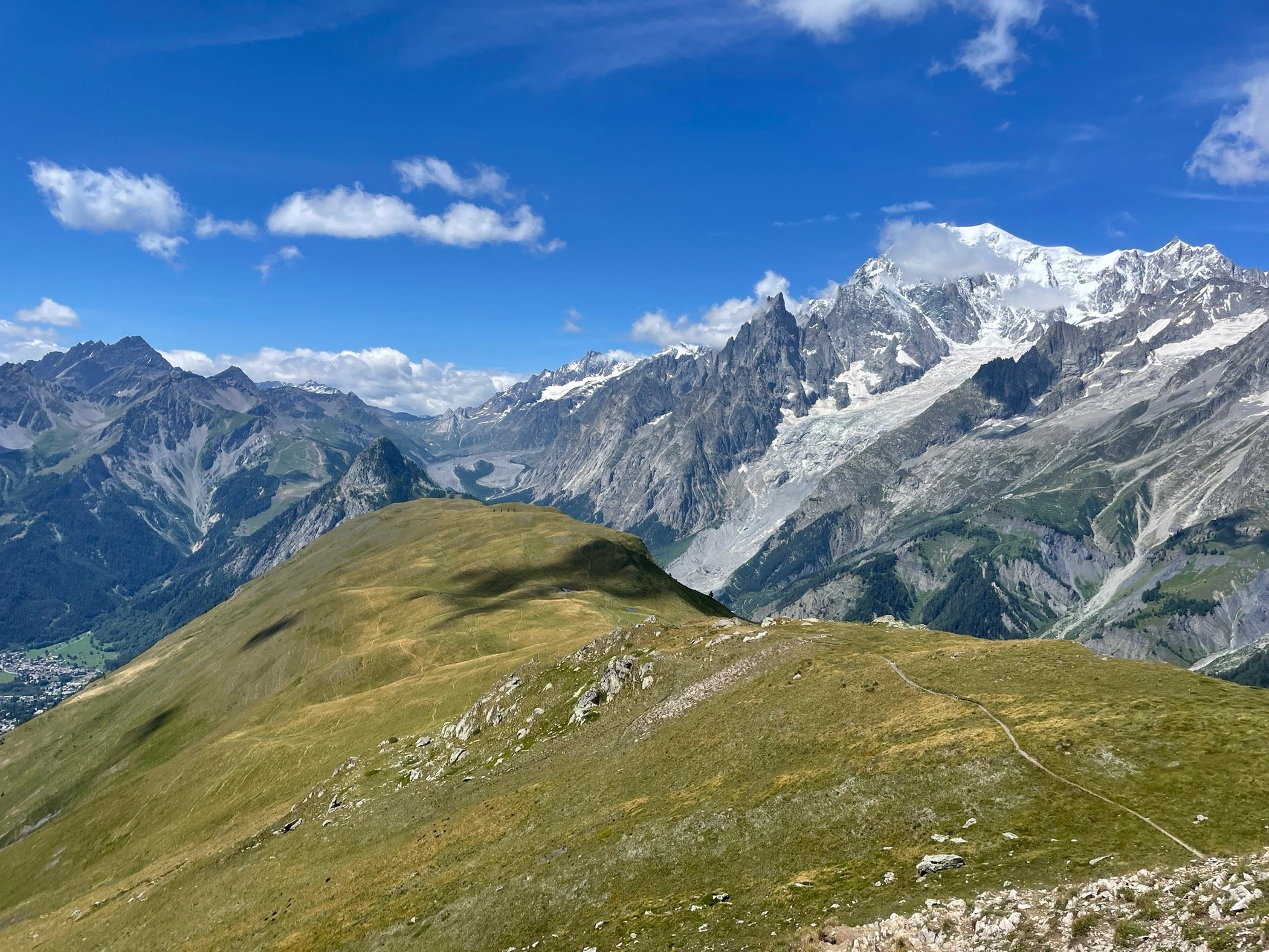
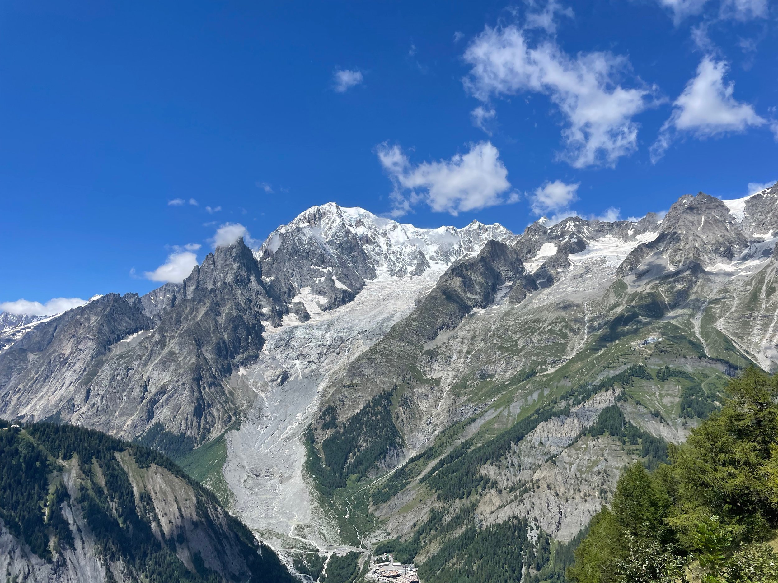
We soon intersected with the top of the climb on the CCC route, Tete de la Tronche. I had heard this was beautiful, and the 360-degree view did not disappoint. With a clear day and the recent storms dropping fresh snow high up on the massif, it may be the best mountain view I’ve ever seen.
Col Malatra in the distance
From the Tete de la Tronche
This ribbon of trail had breathtaking views
Monte Bianco
We descended to Refugio Bertone and another brief section on the UTMB route before diverting down to the base of the Skyway Monte Bianco. At the bottom of the valley, we came upon another aid station, which was great as my bottles were empty.
We could have turned left from here to head straight to the finish. It would have been a bit longer than 50K with 13,000 feet of climbing – a solid day in the mountains. But alas, that was not to be. We ascended this silly steep couloir ridge up to Skyway Monte Bianco, climbing 1,600 feet in the first mile. Most of it was baking in the exposed sun, and it was hot now that we were back at lower altitude. Finally, we crested the last climb and got to the Skyway.
Now it was time to get this done! The first mile down was difficult and slow, descending 1,600 feet. After getting past the steep part, there was just 2.5 easy miles into town. I was running low 8-minute miles, but I didn’t push too hard. The goal was to recover quickly from this, and I didn’t want to drain the tank.
At the finish of a great adventure
I crossed the finish line in 10h39min, feeling fine. If someone told me I had to go climb another mountain, I’d need some food and bottle refills, but my body and mind would have been ready. Tor, where there is always another mountain, has a way of messing with your perspective of what is reasonable.
I could have done without some of the wild terrain towards the beginning of the race, but overall it was a great time. I really do love racing in the charming, beautiful, and rugged Aosta Valley. I have a feeling I’ll be back soon …


